At P&R Surveys, we provide a full range of surveying services tailored to your project’s unique needs. Our experienced team combines advanced technology with industry expertise to deliver accurate and dependable results.
Our Services
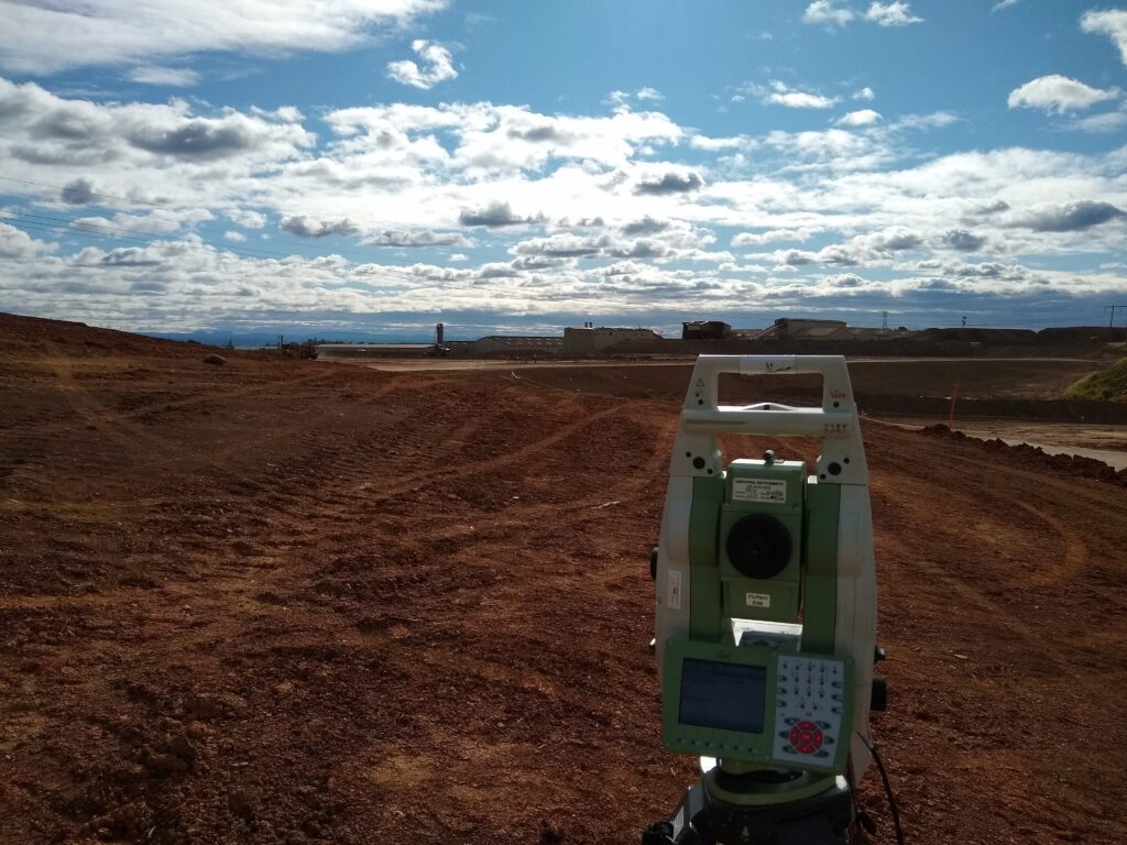
Detailed Topographic and Feature Surveys
We perform comprehensive surveys capturing precise terrain elevations along with spatial locations of natural and man-made features, such as contours, vegetation, utilities and structures. Utilizing high-accuracy GNSS, total stations, we generate detailed 3D digital terrain models and feature-rich datasets. These surveys provide critical input for design, engineering analysis and construction planning across various infrastructure and development projects.
Design Verification and Early Error Detection
We assess design plans against real-world site conditions to identify conflicts, omissions or impractical elements before construction begins. This proactive approach helps prevent delays, rework and budget overruns. Our team uses advanced software combined with field checks to validate constructability and compliance.
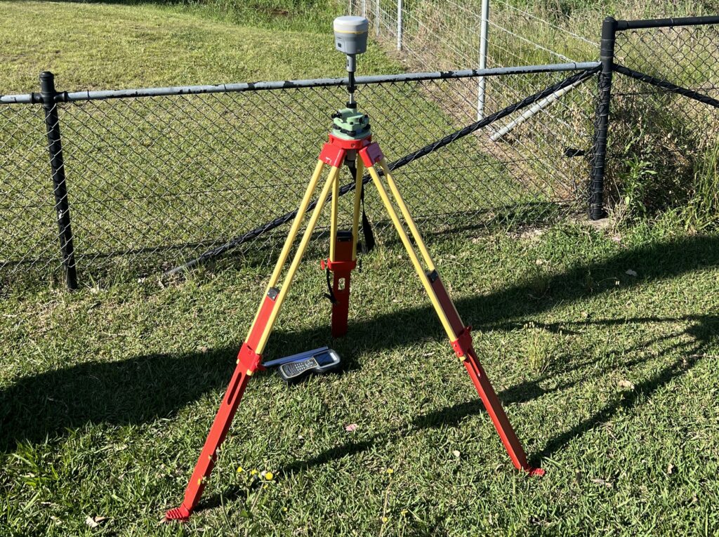
Survey Control Networks
We establish and calculate robust survey control frameworks using GNSS, total stations and precise geodetic methods. These control networks serve as the backbone for all surveying and construction activities. Networks are adjusted and validated to ensure long-term stability and spatial accuracy.
Survey Data Modelling and Management
We convert raw survey data into structured, intelligent 2D and 3Dmodels suitable for design, analysis or asset management. All data is cleaned, verified and delivered in formats compatible with CAD, Civil 3D, Revit, and GIS platforms. Organized data management ensures consistency and traceability throughout project stages.
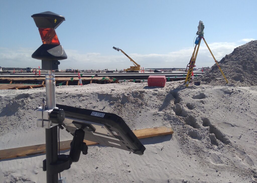
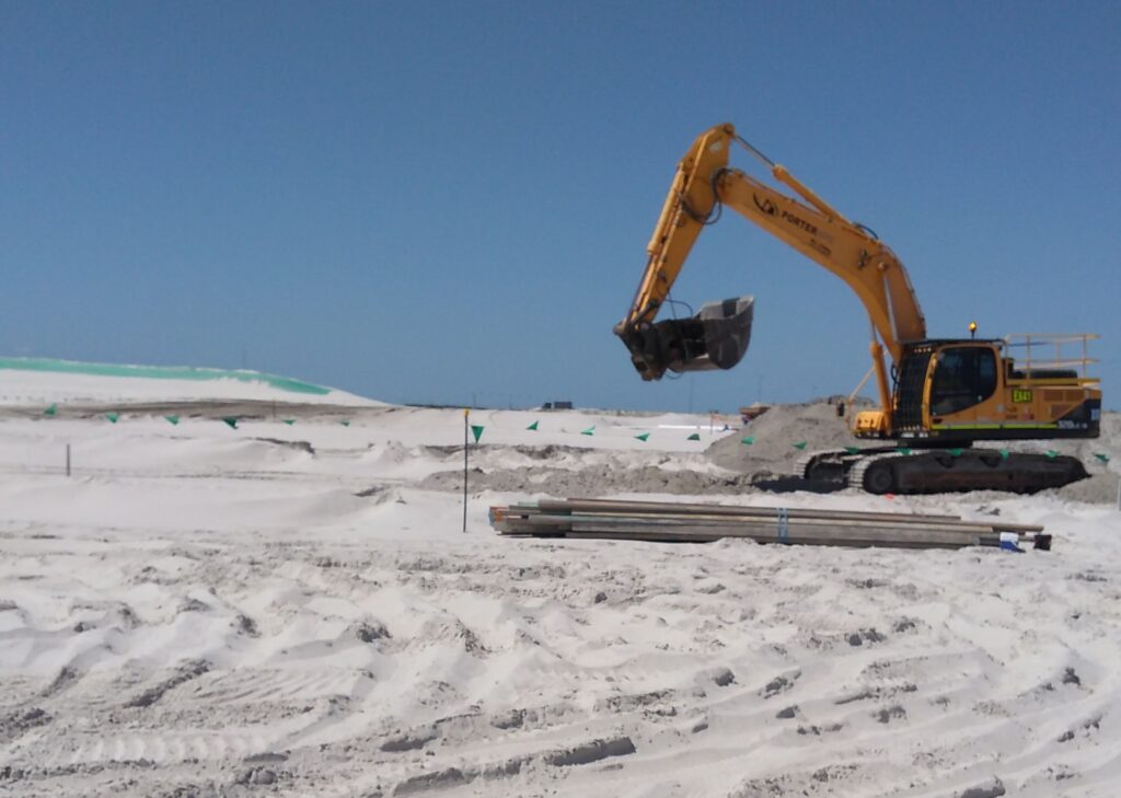
Bulk Earthworks Measurements and Analysis
Our team delivers accurate cut and fill calculations using high-resolution surface models derived from field or drone data. Pre-, during- and post-earthworks surveys enable precise volume tracking and planning. Regular reports assist with progress monitoring, cost control and contractor verification.
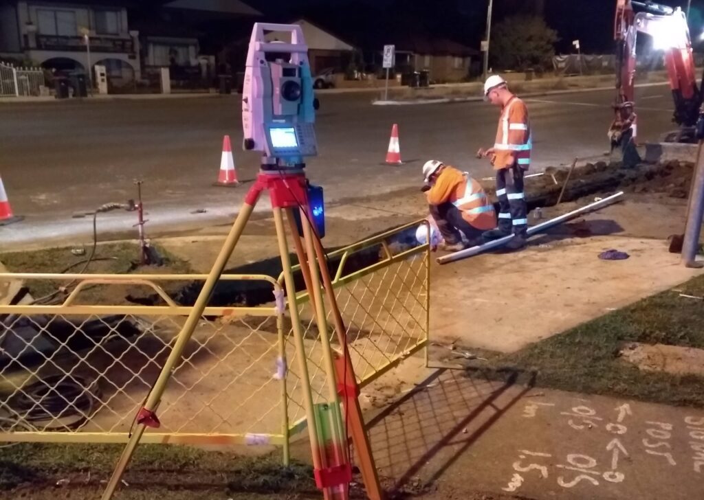
Utilities and Drainage Mapping
During construction, we perform detailed mapping of existing and newly installed utilities and drainage infrastructure to support service coordination, clash avoidance and compliance. This includes accurate location of underground services, stormwater networks, sewer lines, surface features such as pits, valves, connections. Our mapping ensures all services are properly placed, documented, prepared for as-built verification or authority submission.
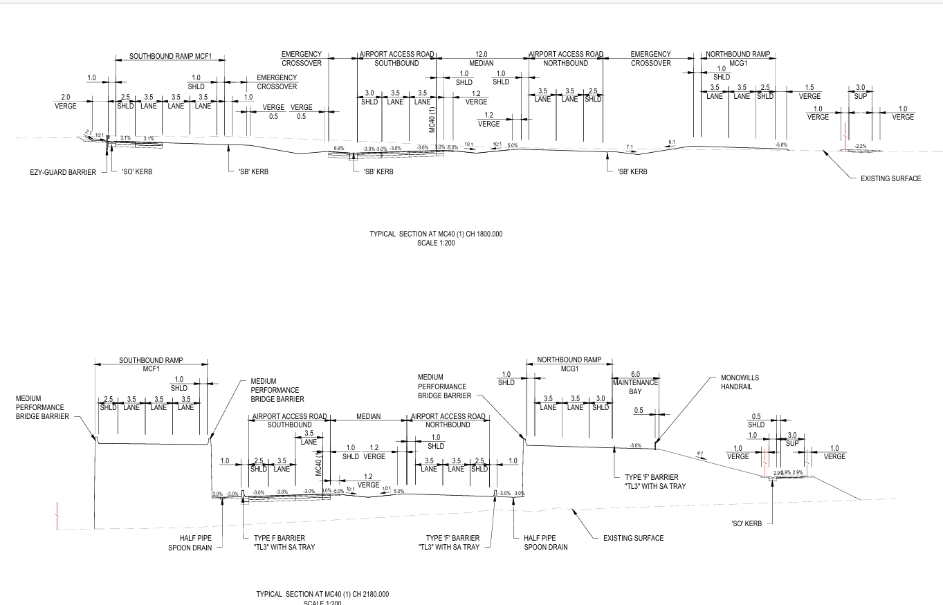
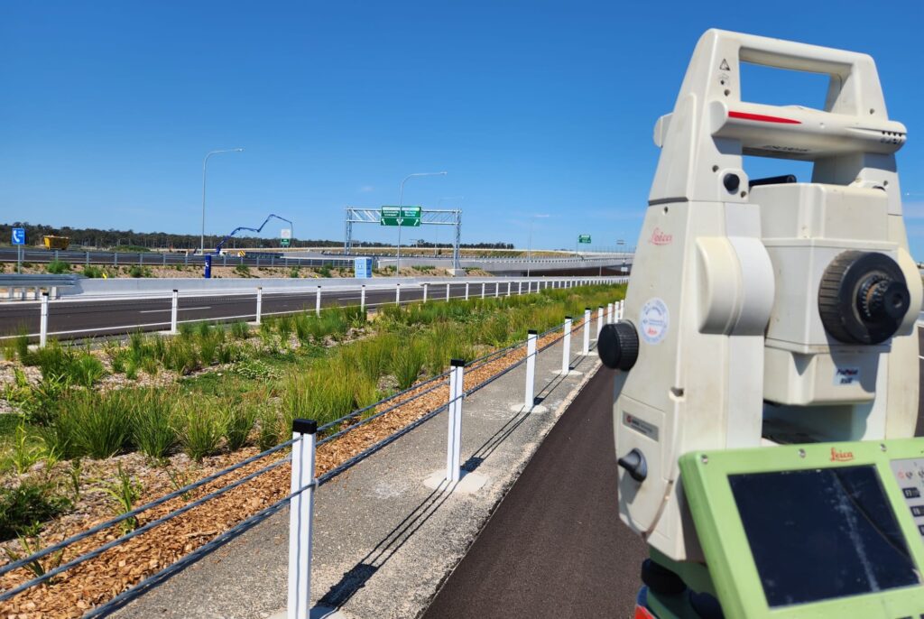
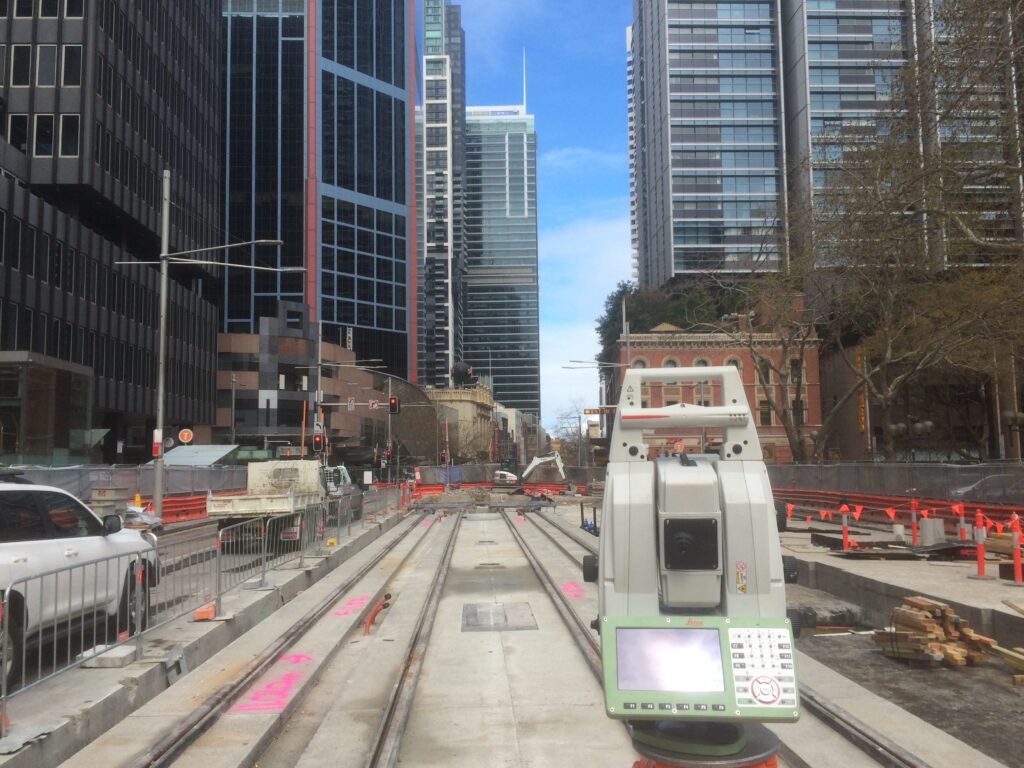
Pavement and Roadworks Surveys
Throughout construction, we conduct accurate surveys of road alignments, pavement layers, kerbs, surface features to guide and validate each stage of delivery. Our data supports subgrade preparation, pavement placement, final as-built verification. Measurements meet construction tolerances and integrate with design models, machine control, quality assurance documentation.
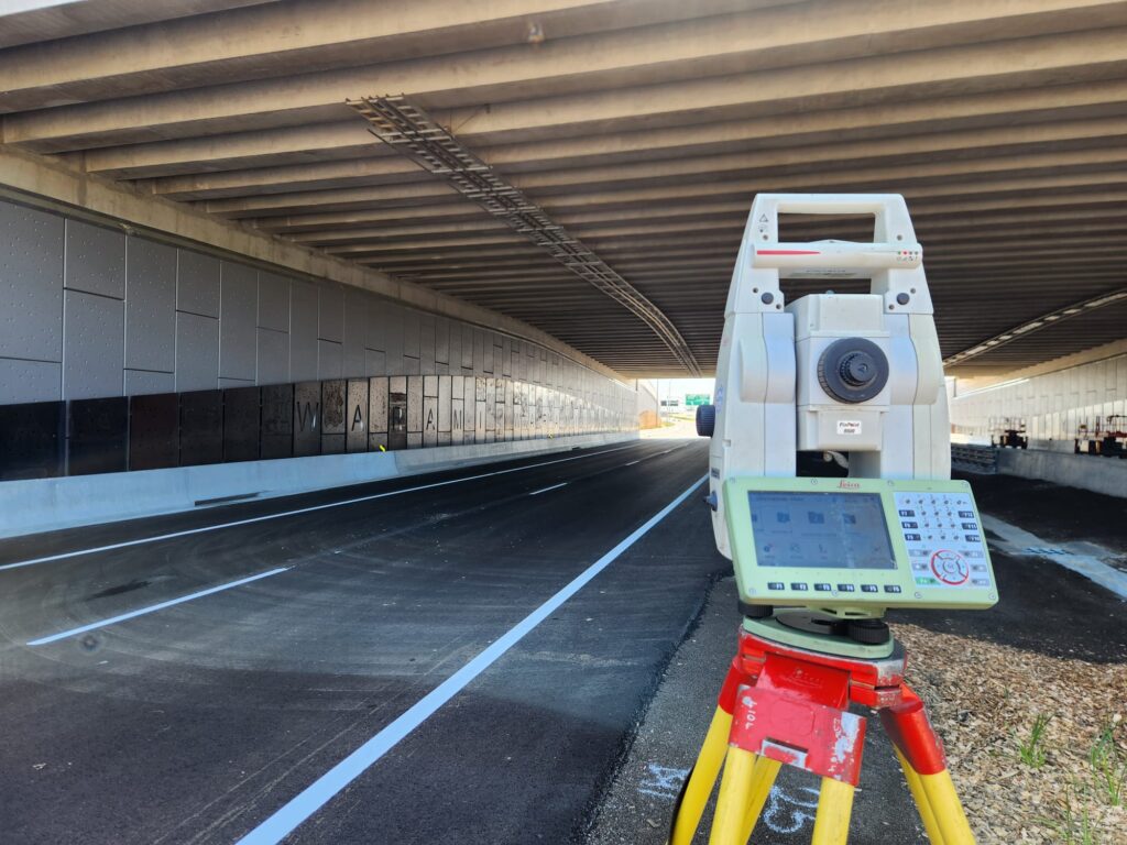
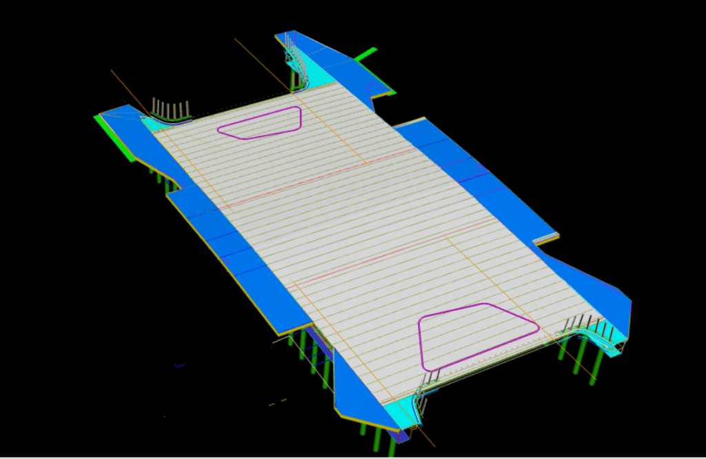
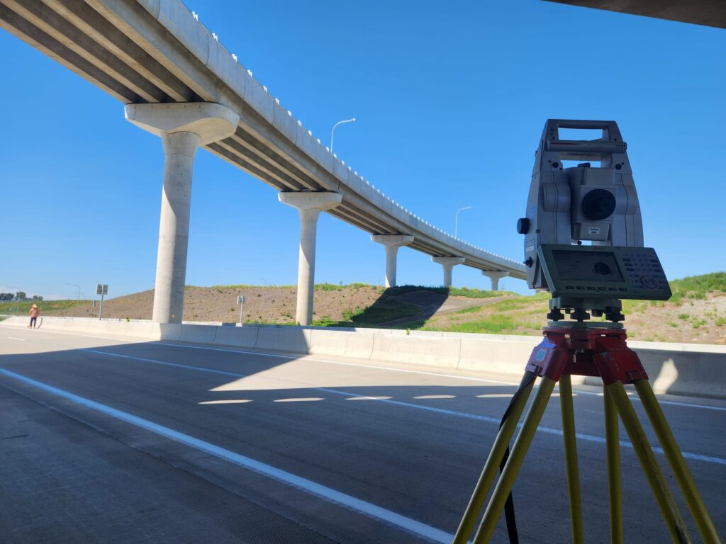
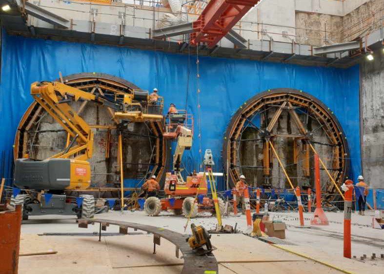
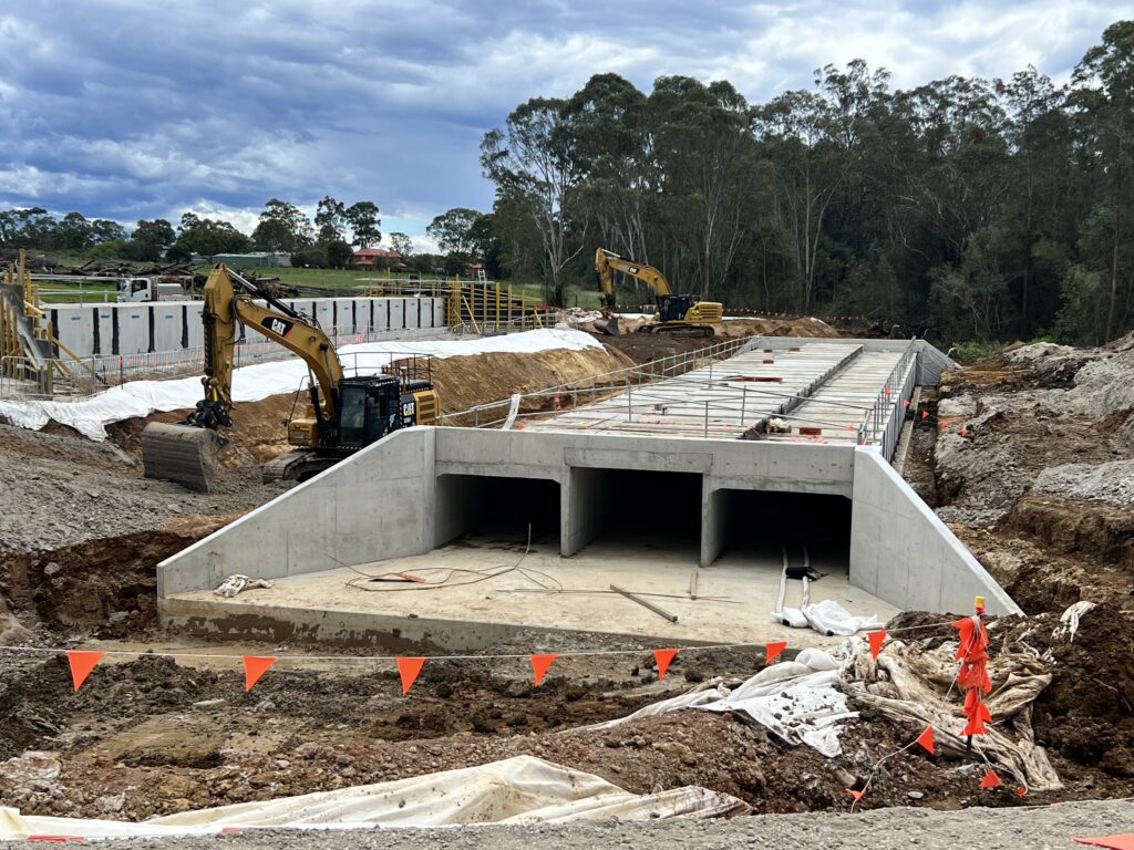
Bridge and Structural Surveys
We offer a complete range of bridge and structural survey services, starting with detailed site measurements and condition assessments. Using advanced surveying technologies, we produce accurate 3D models, CAD drawings and documentation to support design, maintenance or upgrade projects. Our services extend through construction phases, providing ongoing monitoring, as-built verification, quality assurance, final deliverables to ensure project accuracy and compliance at every stage.
Miscellaneous Infrastructure
From lighting and signage to barriers, pathways and minor civil assets, we survey a wide range of infrastructure components. Each feature is geolocated, described, and recorded with the precision necessary for planning or asset management. Custom outputs support seamless integration with broader project datasets.
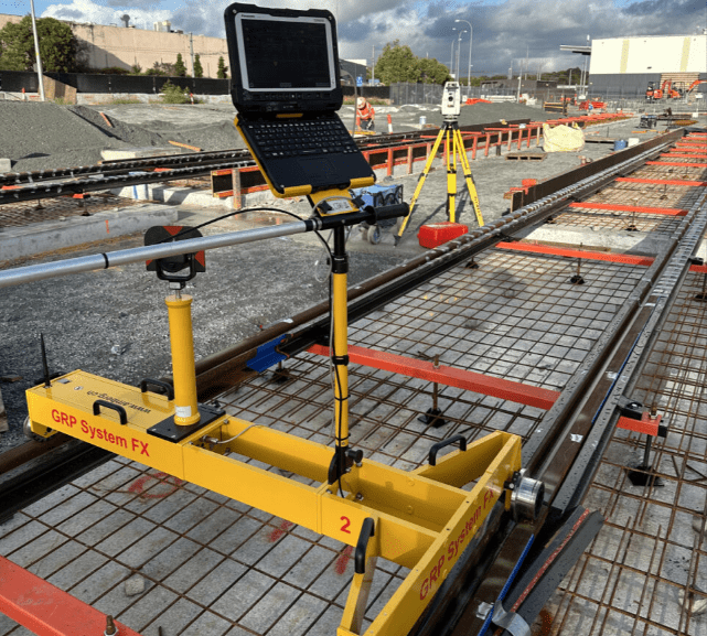
Rail and Rail Infrastructure Surveys
We perform high-precision rail alignment surveys, including tracks, platforms, overhead wiring structures and related assets. All measurements meet the tight tolerances required for rail design, maintenance and safety. Outputs support BIM, CAD, GIS workflows for rail planning.
Work-As-Executed (WAE) Plans
WAE surveys verify that constructed works conform to design plans and specifications. These surveys are essential for handovers, complianc, and council approvals. Plans are prepared to relevant authority or contractor standards, clearly documenting any variations and finished levels.
Monthly Volume Reporting
We conduct scheduled site surveys to monitor material movement and progress in bulk earthworks. Volumes are calculated and reported monthly to assist project management, invoicing, auditing. Visual comparisons between current and previous surveys help maintain transparency.
Structural and Civil Monitoring
We implement precise monitoring solutions to detect movement, deformation or settlement in critical structures and sites. Using total stations, GNSS, we track changes over time and alert clients to deviations beyond set thresholds. This service is ideal for bridges, retaining walls, excavations and sensitive assets.
Machine Guidance Support
We prepare, validate, manage data for machine control systems used in earthmoving and grading. Surfaces, linework, models are configured for compatibility with Trimble, Leica, Topcon and other platforms. On-site calibration and troubleshooting ensure operational accuracy.
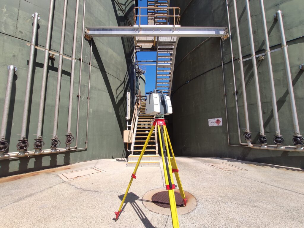
3D Laser Scanning
Using terrestrial and mobile laser scanning, we capture millions of points to create highly detailed 3D models of structures, buildings and terrain. This non-invasive method is ideal for complex geometry, heritage sites or inaccessible areas. Data can be delivered as point clouds, mesh models or BIM-ready outputs.